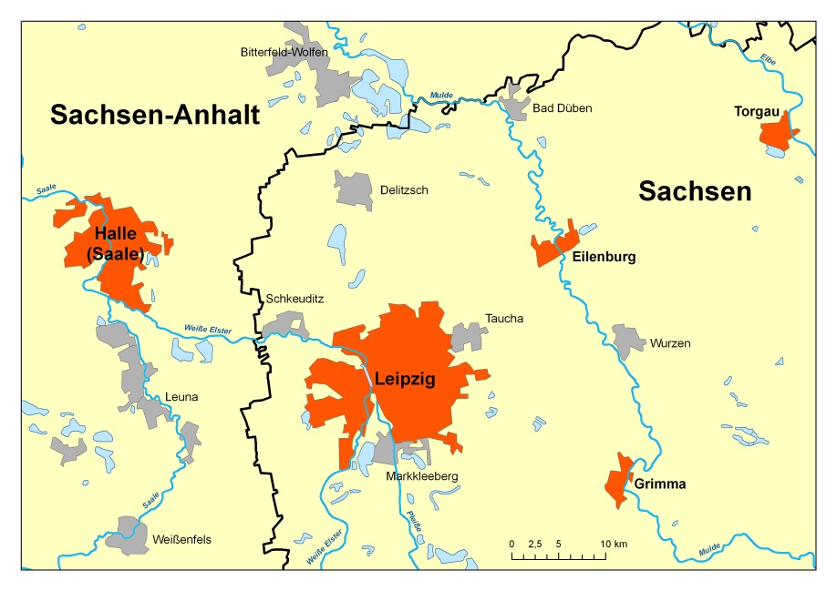
Description of the Hydrological Observatory Bode
The Bode river catchment in the TERENO Harz/Central German Lowland Observatory is the central study site for water-related research at the Helmholtz Centre for Environmental Research - UFZ. The Bode catchment is a mesocale, lower mountain range catchment (total area: 3,300 km², see figure 1; click opens a larger image) within the Elbe river basin. The area shows large topographic gradients (altitude: 55 - 1,100 m above mean sea level) and climatic variability (mean annual temperature approx. 9°C). Mean annual precipitation amounts to an average 660 mm with large spatial and temporal variability (450 - 1,600 mm; maximum in summer). The Geology of the Bode catchment is dominated by schist and claystone in the headwaters (ca. one third of the catchment area), and tertiary sediments with loess soils in the lower parts of the catchment (ca. two third of thecatchment area). Previous studies concentrate on runoff generation in small headwater catchments of the Bode/Selke River. Digital soil data are available at the scale of 1:50000 for the whole catchment and several long term soil survey filed sites for different soil types within the catchment. The area is dominated by agricultural use (70 % of the catchment). The middle mountain area of the Harz is dominated by forest use. Urban areas make up around 6 % (total population 370,000), industrial areas and open-pit mining areas each cover approx. 1 % of the land surface.
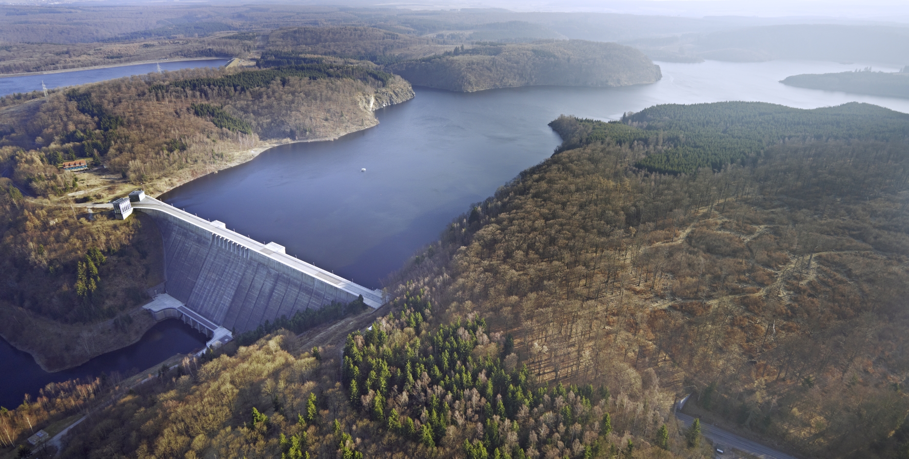
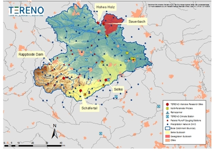 The catchment represents one of the best meteorologically and hydrologically equipped catchments in Central Germany (long term data discharge, precipitation, climate). The Bode catchment has an already existing dense precipitation, climate and discharge gauges network (see figure 1; click opens a larger image). Weather radar from the German Weather Service is also available. Furthermore, long term water quality monitoring by environmental agencies is in place (some of them are recorded for more than 50 years). Water availability in the catchment is generally good, and becomes an issue only in the lower parts of the catchment, where mean annual precipitation falls below 500 mm.
Current surveys conducted in the course of the implementation of the WFD suggest that 76% of the river system it is unlikely or unsure to reach a good ecological status, caused by high nutrient loads and heavily modified river morphology (29 % unlikely, 27 % unsure). The Bode catchment comprises four groundwater bodies, of which three have been classified as in bad chemical status, resulting from diffuse pollution (as of September 2006), but all are currently classified as in good status in respect to water quantity.
The most widespread problem within the catchment with regard to groundwater/surface water systems is eutrophication due to solute inputs from agriculture (N, P). Future land use change (e.g. shifting to energy plants) may increase agricultural inputs to surface waters. Climate change has already altered and may further alter the hydrological regime (i) with an increase of winter precipitation, and decrease of summer precipitation, and reduced water residence times, (ii) with effects on the ecohydrological boundary conditions of the river system and (iii) with changing effects on the interactions between groundwater and surface water especially in the summer season.
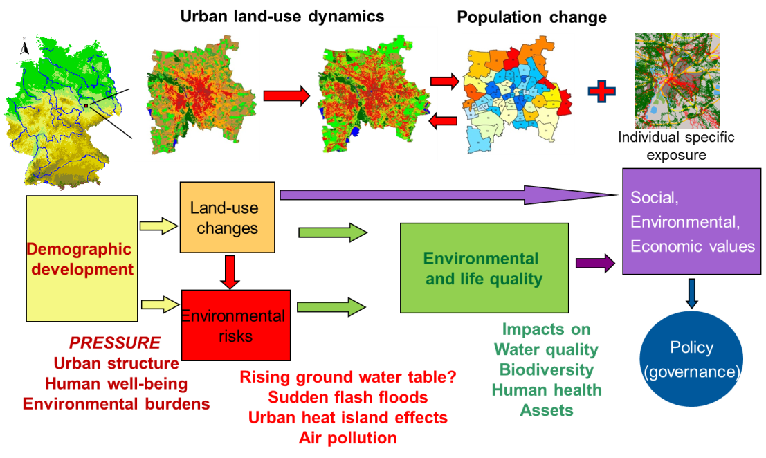
The Bode river catchment is the central study site for water-related research at the UFZ. As integral part of the TERENO observation network an integrated monitoring and research concept joining hydrological, atmospherical, biodiversity related, and soil physical research has been implemented.. This will lead to scale-dependent intensive research activities on different spatial scales ranging from point sampling to remote sensing, following a nested approach. Thus, it offers the possibility for a joined processing of central research questions from the point via the plot scale up to the catchment scale; and it constitutes one region sensitive to climate change where a regional model will be calibrated and applied for predictive scenarios.
Integral part of the nested catchment monitoring approach are intensive test sites offering the possibility to investigate several hydrological, pedological and ecological processes of relevance in a very detailled manner. Currently five intensive test sites are implemented (click on the titles opens a more detailled description):


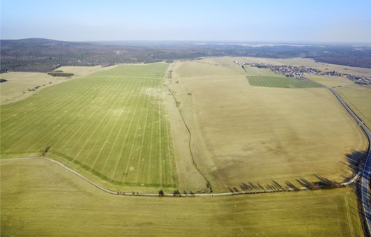
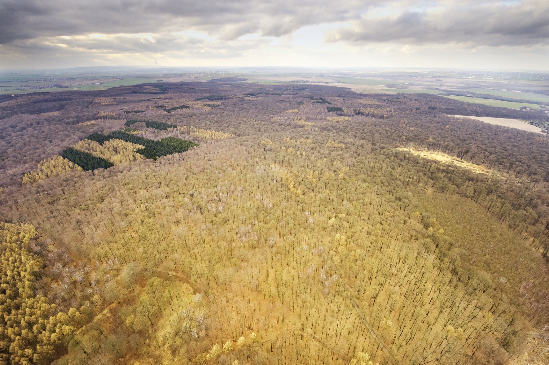 The research site Hohes Holz is a mixed beech forest at the northern border of the Bode catchment. The main research goal at this site is the understanding of the hydrological and carbon cycles of the ecosystem under the influence of environmental changes. Thus intensive monitoring of carbon and water fluxes between the ecosystem and the atmosphere will be performed.
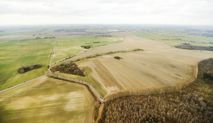
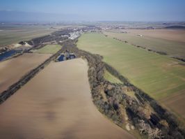
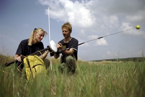 A multidisciplinary research platform has been established in the UNESCO Biosphere reserve Middle Elbe Different scientific groups inside and outside the UFZ are working together to understand floodplain ecology, functioning andgps campaign flood plain research plattform management. The platform is in the continuum of the successful multidisciplinary collaboration developed within the RIVA and HABEX projects which has allowed the collection of valuable data on floodplain ecosystems since 1998. One key activity is the Rosslau experiment.
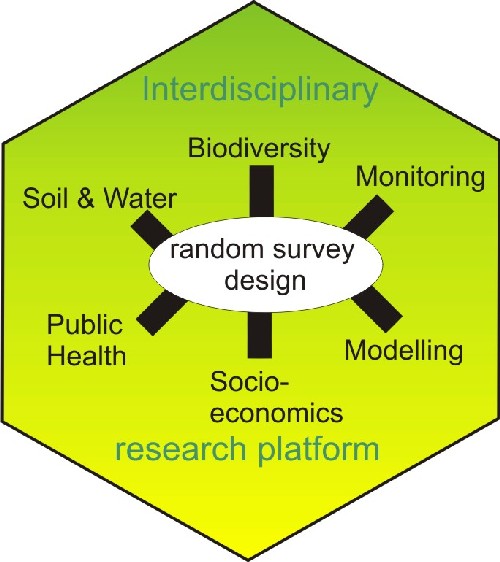 Since spring 2006, a multidisciplinary research platform is established by the UFZ to study exemplarily short-term and long-term effects of floodplain restoration on floodplain ecosystem services and functions in thescheme of study design Rosslau area. According to the needs to study effects of floodplain management, three different sub-areas have been chosen: restoration area, untouched active floodplain, and disconnected floodplain. The stratified, randomised study design with interdisciplinary study plots sets the scientific basis to all participating disciplines and is to be considered as the core of the research platform. It enables repeated surveys of the same plots for biotic (molluscs, insects, vegetation) and abiotic (soil, nutriments, pollutants, hydrology) factors.