


Hyporheic zone dynamic
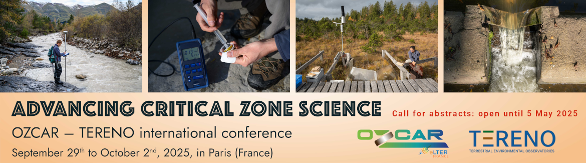
The test site is located at the Selke river. The Selke is a tributary to the Bode and drains a catchment of 458 km². The test site is an approximately 1 km long reach of the Selke, 3 km downstream of the Meisdorf gauge station. The reach characterized by a near natural morphology with meanders, pool-riffle sequences and point and mid-channel bars.
 Research activities at the Selke test site focus on the pattern and dynamics of water flow and solute transport within in the morphological features (e.g. gravel bars). It is hypothesized that the residence time of stream water in the streambed significantly influences solute turnover and stream metabolism. Reactions in the streambed are essentially control by the redox conditions. For instance: denitrification can only occur at oxygen concentration lower than 1 mg/l. One other key parameter is streambed temperature. Temperature controls microbially mediated reactions and is a crucial parameter for reactive transport modeling.
The key objective at the Selke test site is to understand which hydraulic and morphological factors control the reactivity of the hyporheic zone.
At the Selke test site stream and streambed temperature is continuously monitored with multilevel temperature probes. The temperature data is used for reactive transport models and also as natural tracer to estimate direction and magnitude of water flow. Water level in the stream and pressure in the stream and the shallow aquifer is monitored with pressure transducers to derive the dynamics of hydraulic gradients. Electrical conductivity is continuously monitored in the stream and the streambed and used as natural tracer to derive travel times in the streambed. Oxygen is measured in the streambed applying newly developed vertical optical oxygen profilers. The gauging station Meisdorf is equipped with a multi parameter probe and automated water samplers for water quality monitoring.
Contact:
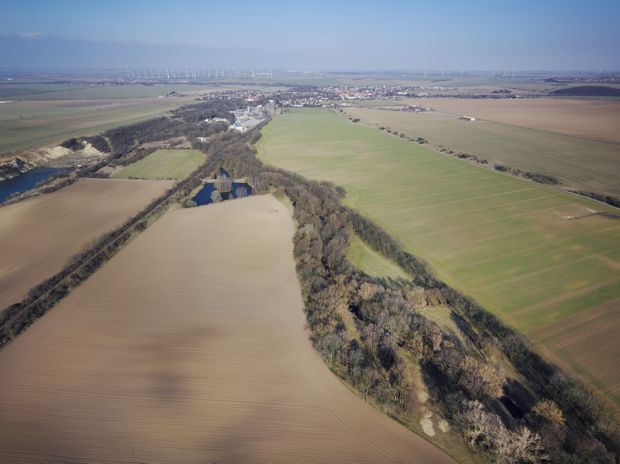
 A currently highly important topic in our research is the dynamics of dissolved organic carbon (DOC) in drinking water reservoirs. A consistent trend of increasing concentrations of DOC has been observed over the past 20 years in the Rappbode Reservoir leading to a degrading water quality and problems in the drinking water preparation in the nearby water works.
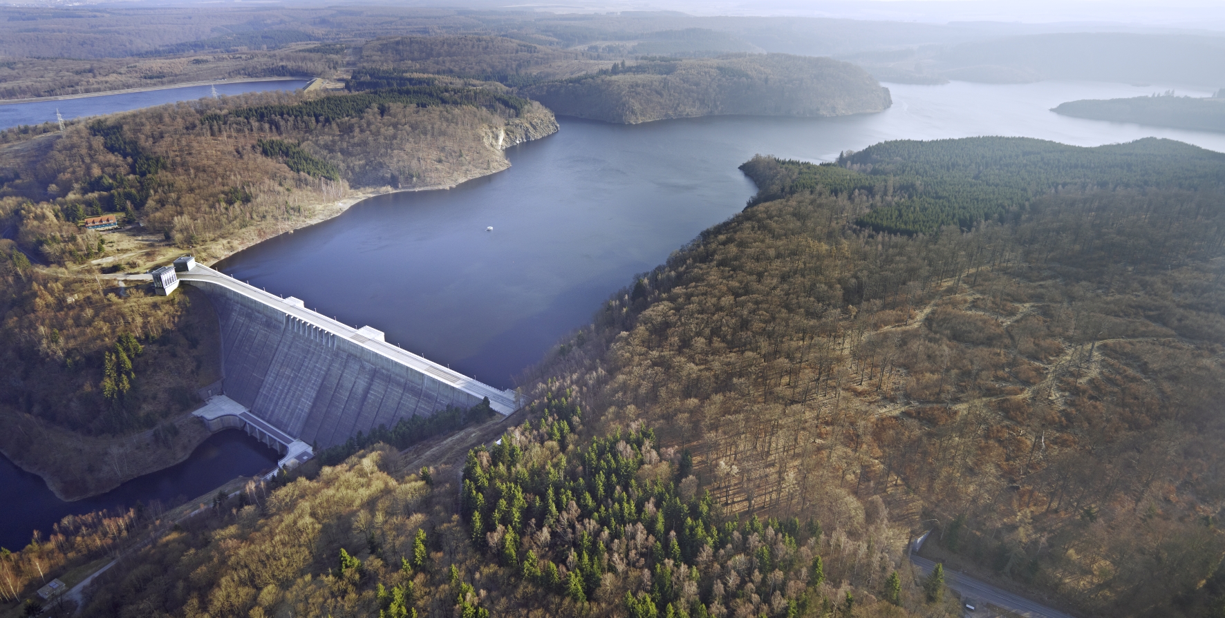
 Research activities at the Sauerbach site address the spatial and temporal dynamics of water and solute fluxes in the unsaturated and saturated zones, between ground- and surface water and in the stream itself with a specific focus on agricultural chemicals. The general goal is the assessment of water flow and solute transport in a lowland headwater catchment. This brings together hydrologists, hydrogeologists and soil scientist combining monitoring, field experiments and numerical modelling of coupled soil water-groundwater-surface water systems.