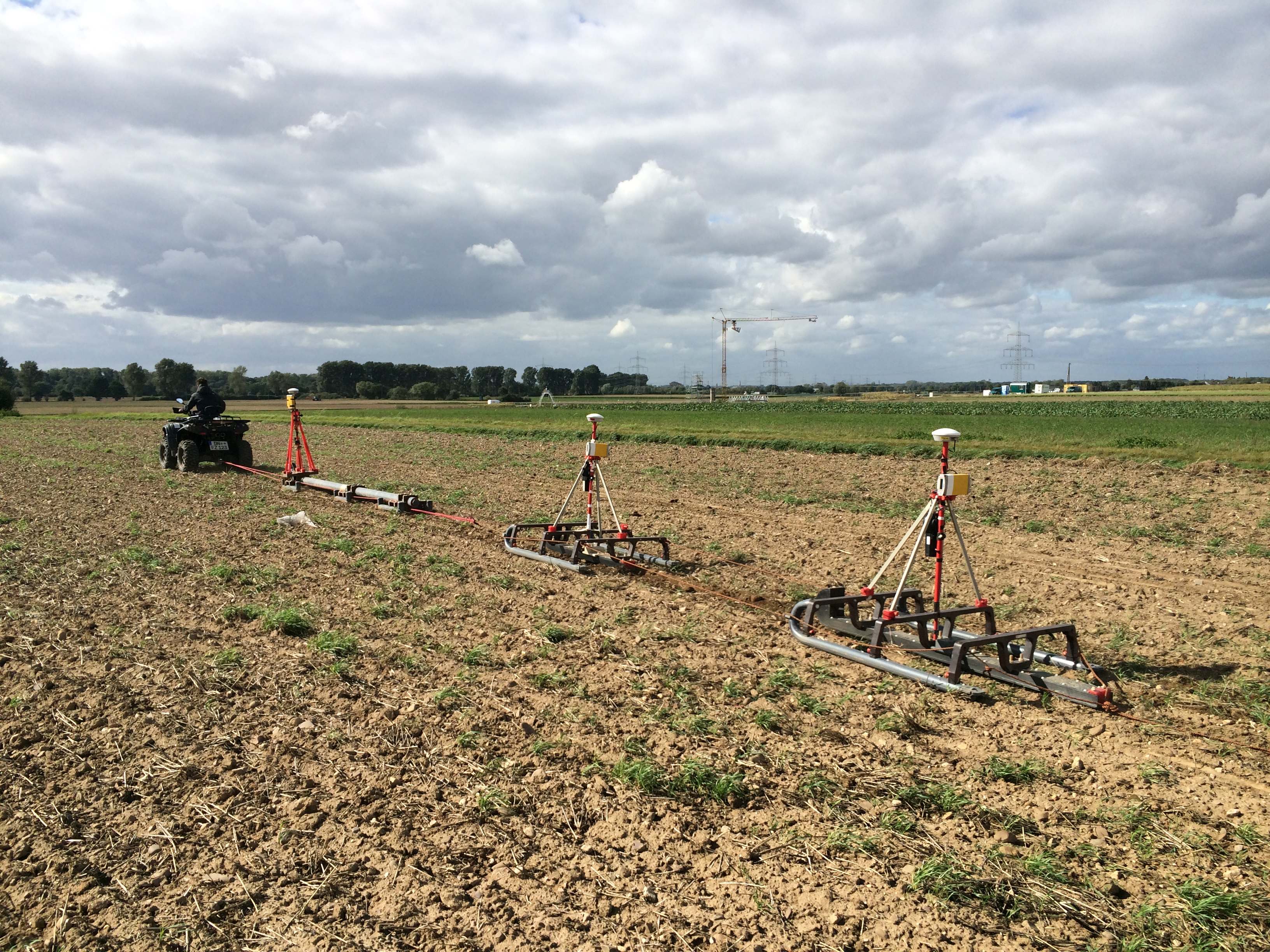


Climate and Eddycovariance stations
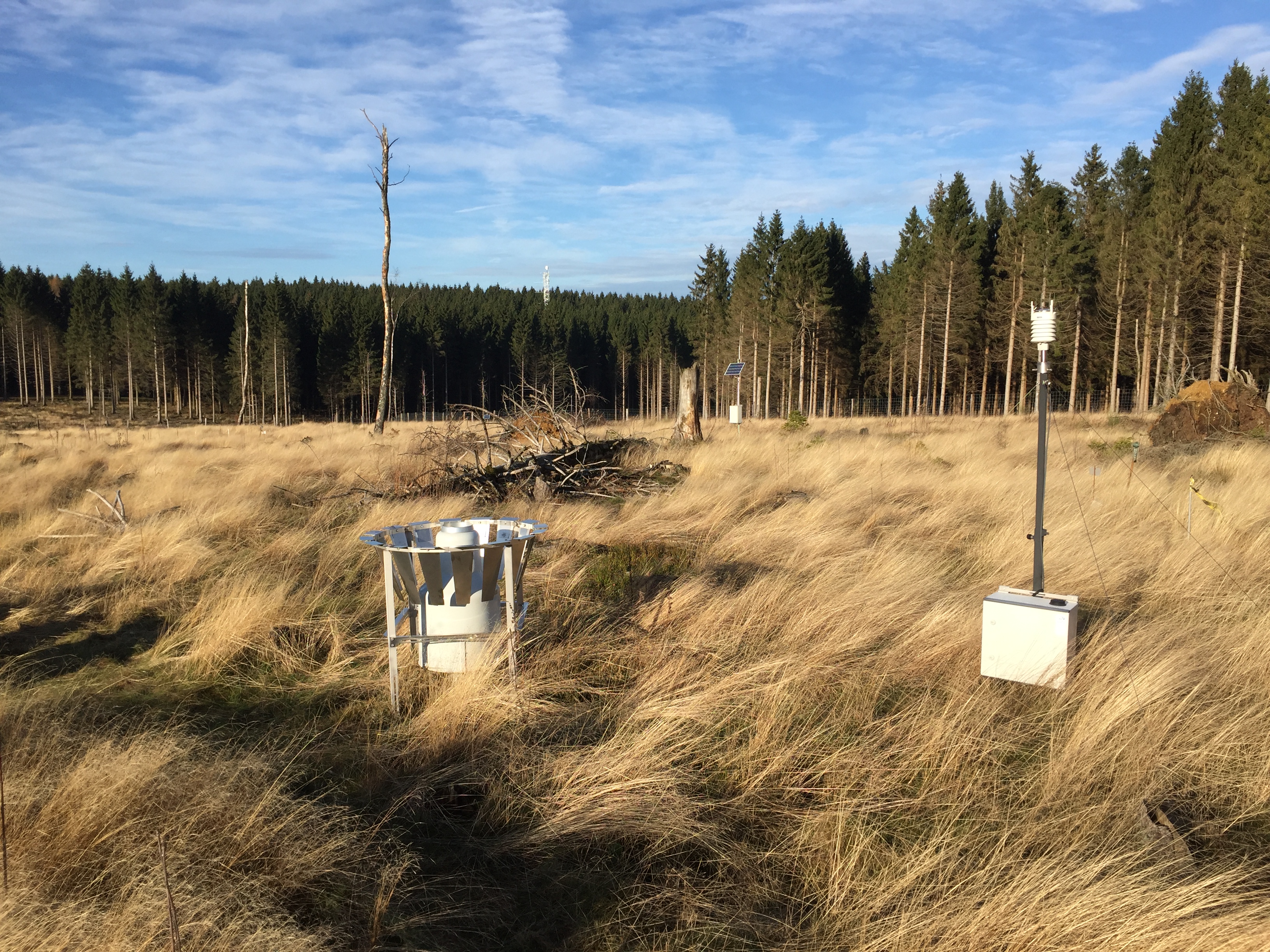 Weather station with pluviometer at the Wüstebach test site (Photo: Marius Schmidt FZJ-IBG3)12 climate stations across the Rur catchment measure key meteorological parameters (precipitation, air temperature and humidity, pressure, global radiation, wind speed and wind direction) since 2011 and are additionally equipped to monitor soil temperature and soil moisture at the 10-, 20-, and 50-cm depths. The general setup of each station consists of a multiparameter weather sensor (WXT520, Vaisala), partially supplemented by a standard Hellmann type tipping bucket rain gauge (Ecotech GmbH) or a weighing rain gauge (Pluvio2, Ott Hydromet GmbH), a pyronometer (CMP3, Kipp & Zonen), and a set of nine soil moisture sensors (HydraProbe, Stevens Water Monitoring Systems)
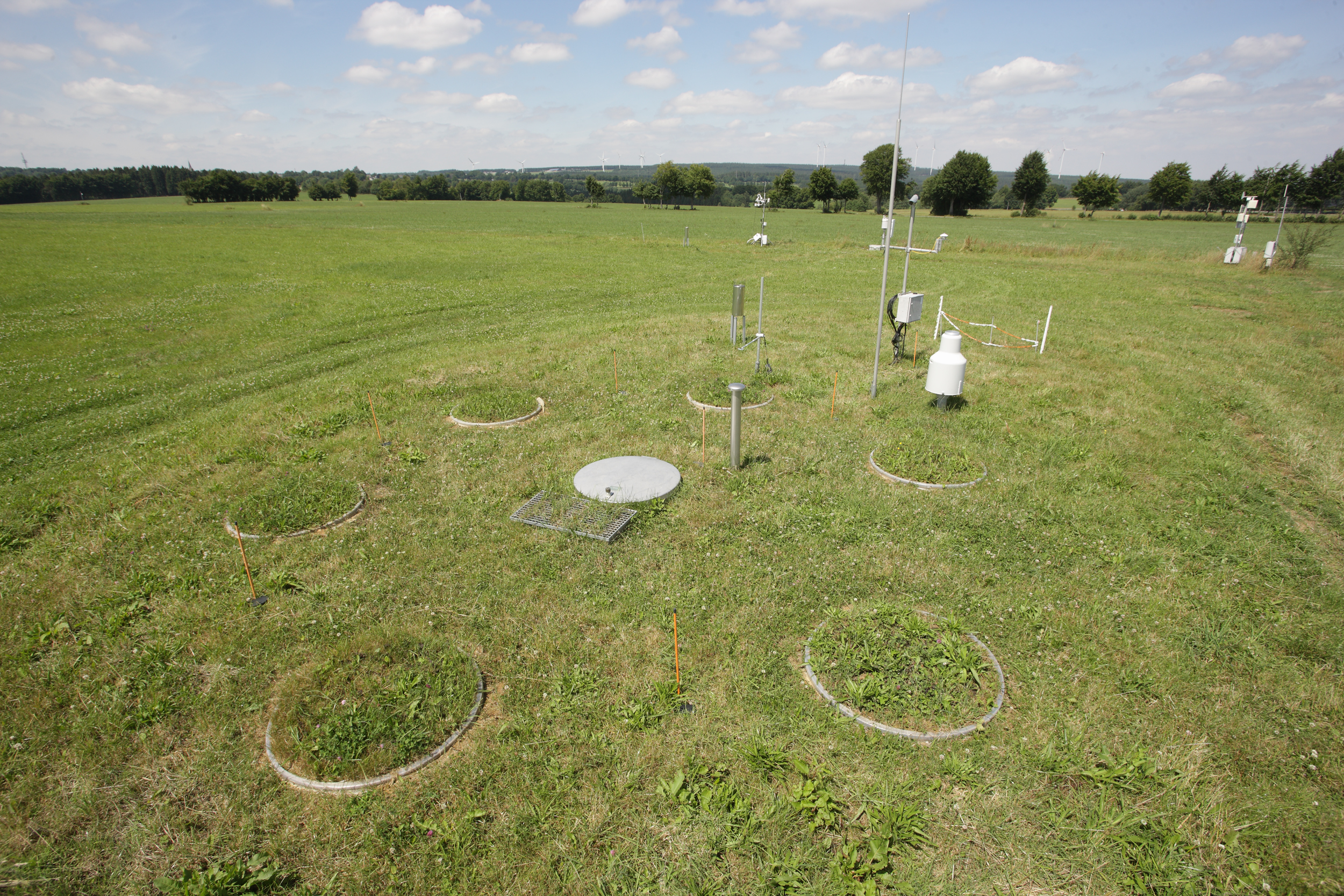
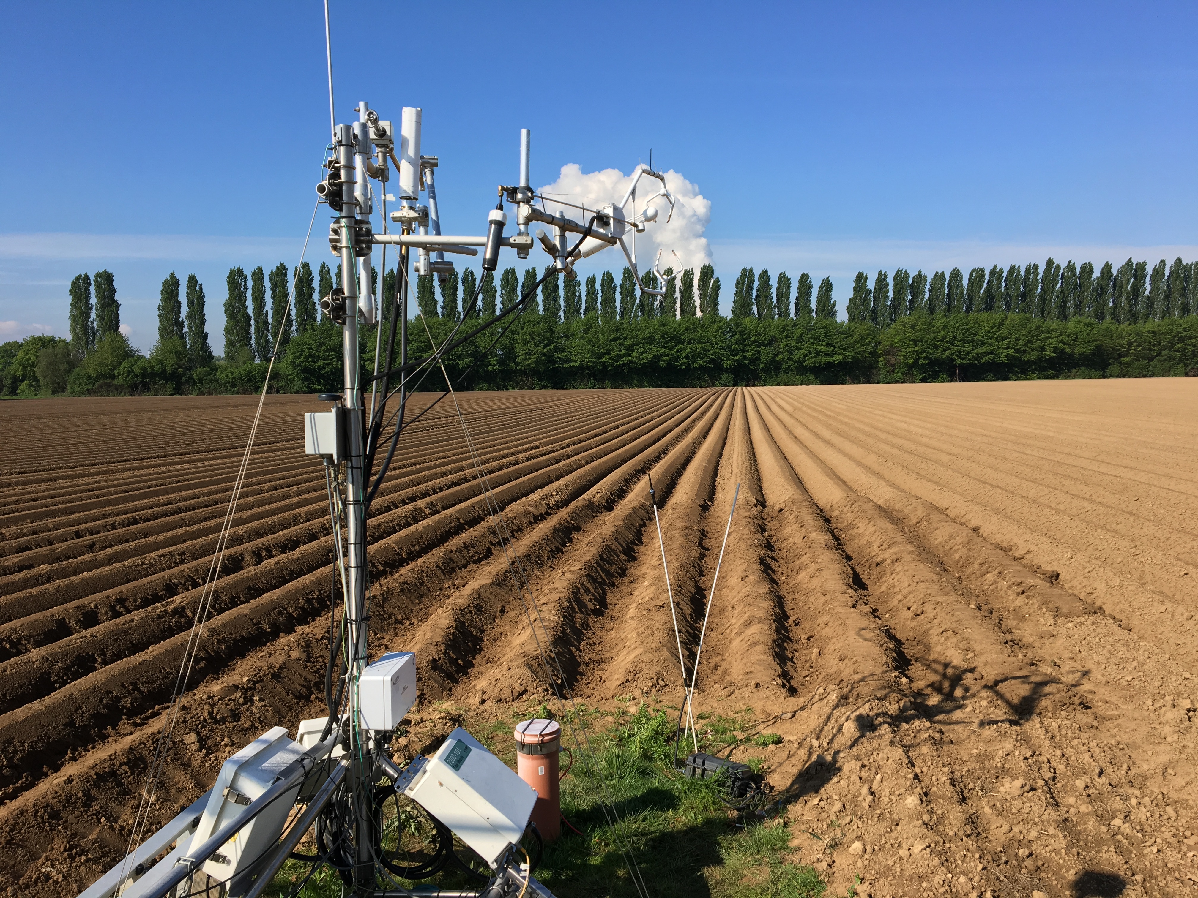 Eddy covariance stations at the Selhausen test site (Photo: Marius Schmidt FZJ-IBG3). In addition, six fixed eddy covariance (EC) stations in Selhausen, Merzenhausen (discontinued in 2019), Ruraue (discontinued in 2017), Rollesbroich, and in the Wüstebach catchment continuously monitor fluxes of sensible heat, evapotranspiration, CO2, and momentum along with ancillary meteorological and soil variables. The common EC station setup consists of a sonic anemometer (CSAT3, Campbell Scientific) for measurements of the three-dimensional wind components, an open-path gas analyzer (Li7500, LI-COR) to obtain the air concentrations of H2O and CO2, an air temperature and humidity sensor (HMP45C, Vaisala), a four-component net radiometer (NR01, Hukseflux Thermal Sensors) for incoming and outgoing short- and long-wave radiation, a photosynthetically active radiation sensor (Li-190, LI-COR), and a heated standard Hellmann type tipping bucket rain gauge (Ecotech GmbH). The soil monitoring comprises multiple sensors for measuring soil temperature (TCAV, Campbell Scientific), soil moisture (CS616, Campbell Scientific), and soil heat flux (HFP01, Hukseflux). The EC raw data are obtained with a sampling rate of 20 Hz using a high-performance datalogger (CR3000, Campbell Scientific). Contact:
Cosmic-Ray Neutron Soil Moisture Stations
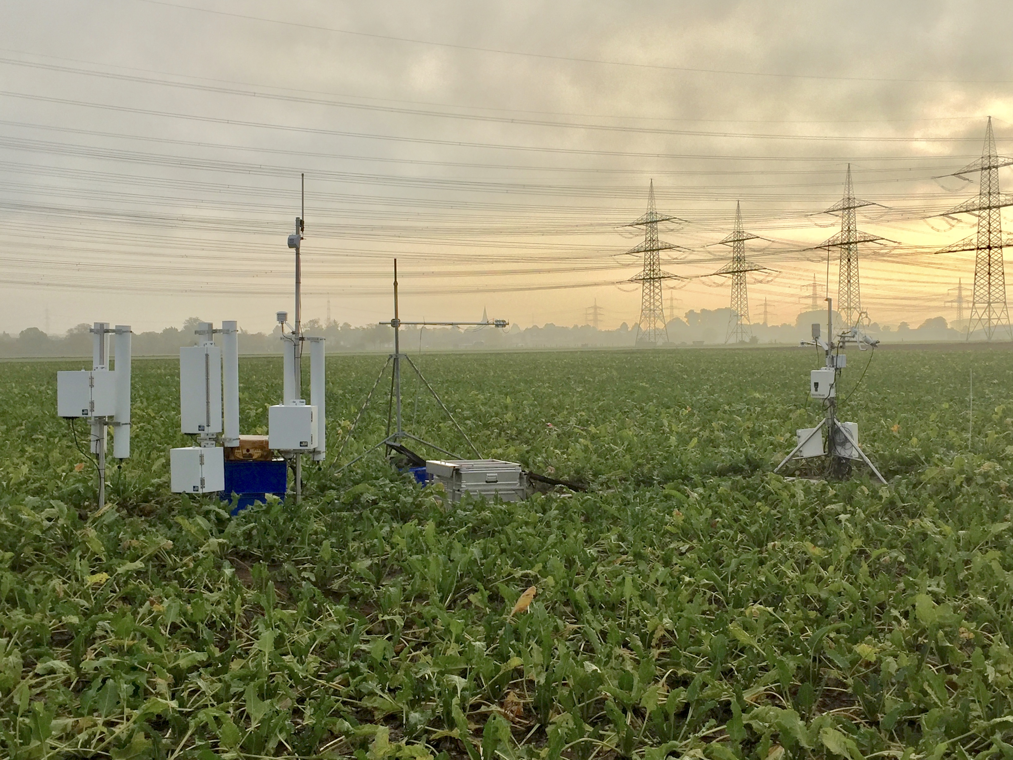 Cosmic-ray neutron and eddy covariance station at the Selhausen test site (Photo: Marius Schmidt FZJ-IBG3). A network of 13 cosmic-ray neutron stations (CRNS) is used to measure field-scale soil moisture. The CRNS network covers the relevant land use types and allows characterization of temporal soil moisture dynamics across the entire Rur catchment. The CRNS are equipped with either a CRS-1000 or a CRS-2000/B cosmic-ray neutron probe (Hydroinnova LLC) that measure hourly neutron intensity. The CRNS probes measure integral soil moisture in a circular footprint centered on the detector with a diameter ranging from 260 to 480 m. Contact:
Weather radars
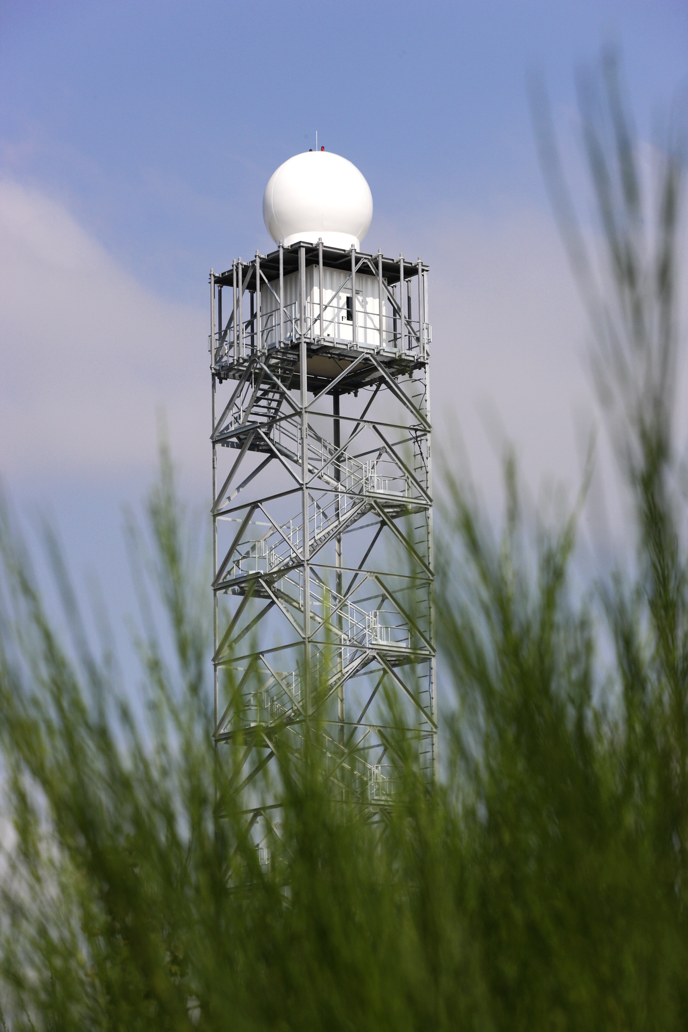 Weather radar tower at Sophienhöhe (Photo: Ralf-Uwe Limbach).
The precipitation is recorded every 5 minutes by two dual polarized X-band Doppler weather radars (BoXPol of the University of Bonn and JuXPol of Forschungszentrum Jülich GmbH). Both radars use the DWSR-2001-X-SDP radar system (Enterprise Electronics Corporation) and an Enigma signal processor (GAMIC GmbH). The precipitation data products are collected by the BoXPol with a radial resolution of 100m and by the JuXPol with a resolution of 50m. Contact:
Streamflow Observation Stations
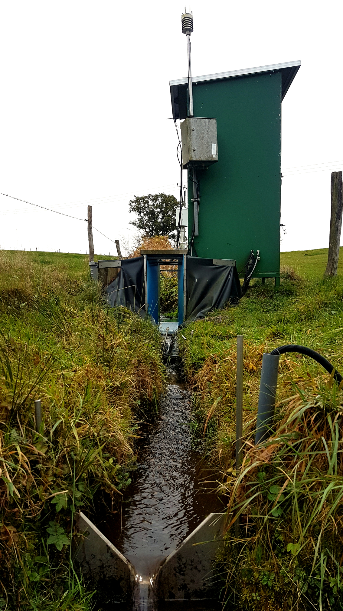 Runoff gauging station of the Rollesbroich research test site (Photo: Ferdinand Engels FZJ-IBG3).Runoff is measured in the intensive experimental catchments Rollesbroich and Wüstebach using gauging stations equipped with a combination of a V-notch weir for low-flow measurements and a Parshall flume to measure normal to high flows. In addition, runoff data from 39 official runoff gauging stations operated by the local water associations (i.e., WVER, Wasserverband Perlenbach, Erftverband) are made available via the data exchange platform TEODOOR. Instrumentation of the runoff stations include multi-probe sensors (YSI 6820, YSI Inc.) to measure pH, electrical conductivity, temperature, and turbidity in streamflow and autosamplers (AWS 2002, Ecotech) that allow event-based sampling at higher temporal resolution. Contact: